
Software for coordinated city traffic
Coordinate city trafficas one intelligentnetwork
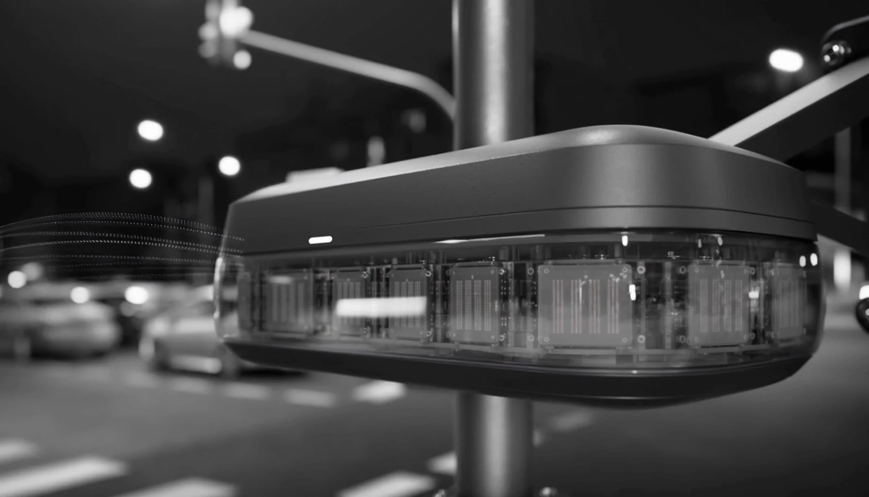
Floway is software that runs on existing city infrastructure (cameras, loop detectors, sensors, and traffic systems) to give intersections live awareness and coordinate signal timing across entire road networks.
Move the city, not just the lights
The problem
Traffic is a network problem. Most signals still act alone.
Preset signals cannot respond to changing demand. Camera-heavy systems depend on visibility, placement, and privacy acceptance. Infrastructure-heavy adaptive platforms remain difficult for many growing cities to deploy at network scale.
The result is preventable queue growth, unnecessary stopping, longer pedestrian waits, fuel waste, and slower movement through critical corridors.
- 01Fixed schedules
- Preset timing plans hold green over empty lanes while queues build a block away, because nothing at the intersection observes live demand.
- 02Camera dependency
- Camera performance can degrade in darkness, rain, fog, and glare, coverage depends on placement, and video collection faces privacy resistance.
- 03Infrastructure-heavy legacy systems
- Adaptive platforms built around large sensor and communication buildouts remain costly and slow for many growing cities to deploy at network scale.
Cities do not only need better signal software. They need coordinated intelligence that works with the sensors, controllers, and traffic systems they already operate.
- 62%Of urban areas saw higher traffic delay in 2025 than in 2024
- INRIX 2025 Global Traffic Scorecard
- 19-44%Delay reductions reported across adaptive signal deployments
- U.S. DOT ITS Deployment Evaluation synthesis
- 500K-5MTarget city profile: dense cities with existing signal networks
- Floway beachhead ICP
- $85.8BAnnual time cost of congestion in the United States
- INRIX 2025 Global Traffic Scorecard
The Floway system
Coordinate traffic using infrastructure cities already have
Floway ingests live feeds from existing cameras, loop detectors, and sensors, builds a shared traffic state at the edge, and uses Floway Core to select safe timing actions locally. Connected intersections exchange state to coordinate corridor-level flow without new sensing hardware.
- 01IngestFloway connects to existing camera, loop, and sensor feeds to build a live picture of vehicles, queues, movement, and demand at each intersection.
- 02DecideFloway Core evaluates local and neighboring traffic pressure and selects an action within controller safety constraints.
- 03CoordinateIntersections exchange traffic state over existing infrastructure so connected signals respond to network conditions rather than isolated schedules.
Floway is designed to integrate with existing traffic controllers through supported standard or relay interfaces.
- 01Ingest
- Connect to existing cameras, loops, and city sensor feeds
- 02Process
- On-edge perception, state estimation, and inference
- 03Connect
- Low-latency links that share state between intersections
- 04Control
- Standard or relay interface to existing traffic controllers
Floway Core
Local decisions. Shared network intelligence.
Floway Core is Floway's decentralized multi-agent reinforcement-learning engine. Each intersection evaluates live traffic state from existing feeds locally, exchanges selected state with neighboring intersections, and coordinates signal timing within the traffic controller's existing safety constraints.
A decision, made at the edge
- State
- Northbound queue rising
- Eastbound demand falling
- Downstream capacity constrained
- Action
- Extend the northbound phase within the permitted timing range
- Network effect
- Neighboring intersections delay conflicting inflow to prevent downstream spillback
Vehicle and queue tracking
Multi-lane traffic-state estimation
- 01Estimate live state
- 02Detect pressure and queue imbalance
- 03Coordinate with neighboring intersections
- 04Select a safe signal action
- 05Execute and measure the result
Product status
Software validated. Pilot integrations underway.
Our technology readiness level
Technology Readiness Levels (TRL) measure how mature a technology is, from basic research through operational deployment.
TRL 5
Current
Relevant environment validation
Breadboard technology undergoes rigorous testing in environments as realistic as possible.
Floway Core validated in relevant traffic simulation; pilot integrations with municipal sensor and controller feeds underway.
From traffic state to coordinated action
The prototype visualization shows how Floway ingests existing sensor feeds, builds a local traffic state, exchanges context with neighboring intersections, and selects a coordinated response.
- 01Ingest
- 02Track
- 03Estimate
- 04Coordinate
- 05Decide
Same-input simulation benchmark
Same network. Same demand. Different signal intelligence.
We ran the same simulated corridor twice using identical traffic demand, routes, road geometry, and evaluation time. Only the signal-control method changed.
- Same network
- Same demand
- Same routes
- Same evaluation period
- Different signal-control method
View benchmark methodology
Both runs used the same 16-intersection network, traffic volume, routes, and simulation window. Floway Core was the only changed variable. It coordinated signal phases using shared traffic state while remaining within predefined timing and safety constraints. Congestion improvement reflects reduced network waiting time and queue pressure relative to the fixed-time baseline. The methodology and result were reviewed by DELTA traffic engineers.


34% lower simulated congestion
Measured as lower network waiting time and queue pressure against a fixed-time baseline on the same 16-intersection network, traffic demand, routes, and evaluation period.
Why Floway
Software coordination for cities legacy systems under-serve.
Floway combines feed ingestion from existing infrastructure, local edge decisioning, controller integration, and intersection-to-intersection coordination in one software platform. The system is designed for cities that need network-level traffic intelligence without proprietary sensing hardware, continuous cloud control, or large-scale signal replacement.
- 01Integrated stack
- Floway unifies ingestion, state estimation, and decisioning in one software layer, reducing dependence on fragmented city data.
- 02Retrofit deployment
- The system is designed to work with existing traffic-light infrastructure and sensor feeds rather than requiring complete signal replacement.
- 03Regional access
- Government technology and infrastructure partners create a route into cities where procurement access is a major barrier.
- 04Operational learning
- Each deployment produces traffic-state, integration, and corridor-performance knowledge that improves deployment and optimization workflows.
| System | Sensing | Data collection | Decision model | Coordination | Deployment model |
|---|---|---|---|---|---|
| Fixed timing | None or basic detection | Minimal | Preset plans | None | Low complexity |
| Camera-based adaptive | Visual sensing | Video or derived data | Central, cloud, or edge | Varies | Depends on camera coverage |
| Legacy adaptive systems | Existing detectors or mixed sensing | Varies | Central or hierarchical | Network or corridor-level | Infrastructure-intensive |
| Floway | Existing infrastructure feeds | Sensor and detector data | Local edge decisioning | Intersection-to-intersection | Software retrofit |
Business model
Start with one corridor. Expand through the network.
Floway uses a software-first model. Cities begin with a paid pilot, expand into connected corridors, and add recurring Floway Core licenses, monitoring, analytics, and support as the network grows. The path is built for measurable corridor outcomes (shorter queues, better throughput, and lower operating cost) without major signal-infrastructure replacement.
- 01Paid pilot5 to 10 intersectionsSoftware integration, benchmark definition, and KPI reporting
- 02Corridor deployment25 to 50 intersectionsConnected intersections and recurring Floway Core software
- 03City network150 to 500 intersectionsRecurring software, monitoring, analytics, support, and network optimization
Floway sells directly to public authorities and through ITS integrators, government infrastructure consultants, and smart-city contractors already serving municipalities.
Deployment target outcomes
- 20-35%
- Lower congestion delay targeted on optimized corridors, within the range reported for adaptive deployments
- 8-12%
- Lower fuel use and related traffic CO₂ targeted on optimized corridors from reduced stop-and-go
Market entry
Begin where access, need, and deployment economics align
Floway initially targets dense cities across the Caucasus, Central Asia, and Eastern Europe where congestion is visible, traffic-light infrastructure already exists, and legacy systems remain costly or difficult to deploy. We sit in the high-growth adaptive and signal-intelligence slice of the broader intelligent traffic management market.
1 commercial base · 4 partner and LOI markets · 10 expansion markets Hover or tap a highlighted country
Current commercial base
Partner and LOI markets
Longer-term expansion
- $13.8B → $48.7BIntelligent traffic management market, 2025 to 2033
- 17.8%Projected CAGR for intelligent traffic management, 2026-2033
- $7B to $14B-$23BAdaptive traffic control market, mid-decade to about 2030
ITMS: Grand View Research. Adaptive-control range: industry analyst estimates.